The first question that comes to mind for most people is “Where the heck is Sao Tome?” We certainly had to look it up when we looked at the cruise itinerary. The country is actually named Sao Tome and Principe and is made up of the two islands by those names. Sao Tome is by far the largest, and is located 1 mile north of the equator and 190 miles west of Gabon. Sao Tome is
Steve and Cathy's Blog
Thanks for joining in our adventure!
Browse posts tag by Insignia
We are traveling through the Gulf of Guinea heading southeast toward the island of Sao Tome (Portuguese for St. Thomas). The sea is pretty calm and we will have a day to catch up on reading and writing. I’m writing this two days later and already we cannot remember where we ate breakfast. (Anyone reading this post is probably thinking “Finally. Enough about every damn meal, okay?”) Cathy heads for Bible study at 8:15 and Steve
As Cathy and I can tell you, if you are in transportation, even the most meticulously crafted schedule will go awry if one of the myriad steps goes wrong. And a cruise line is, when you get right down to the basics, in the transportation business. In the case of the Insignia, fueling a cruise ship in West Africa was that step.
The previous evening, Cruise Director Leslie got on the public address system to bring
We are still at sea when our morning beverages/croissants arrive. Cathy looks out the door of our veranda and says “It looks very Cliffy today,” meaning it is quite foggy. I mean it’s in the high 80s, and the humidity is off the charts, so the fog is the only way this is like Cliff Island, Maine, but her comment is accurate. As mentioned yesterday, the sea is very calm and has been for the past
Another day, another time change. Now I guess we’re four hours ahead of home. The laptop and the iPhone don’t know where we are, so can’t keep up. Somehow I have got to figure out how to adjust these devices myself. At any rate, our coffee + is delivered at 5:45, and Steve has a workout with Sho that was as hard as any he has done so far. Daughter Margaret would be proud. We had
This is our fourth Sea Day in a row. Every day, the Captain gets on the ship’s public address system at noon and gives our position, course and speed, sea state and depth, weather, and an estimate as to our arrival at our next port. Then he signs off: “So see you around the ship.” Which we won”t, of course. I really get the impression that the bridge officers aren’t into dealing with us guests. It’s
Waking up is a challenge this morning, what with the Captain’s dinner last night and having to move the clocks forward another hour. And Steve has to face Sho at 6:30. But the positive side is that Sho has gotten him to make a change in the morning wake up process.
He has coaxed me into ordering a mixture he says will help me: Lemonade with a tablespoon of ginger in it. Daily. So Cathy and
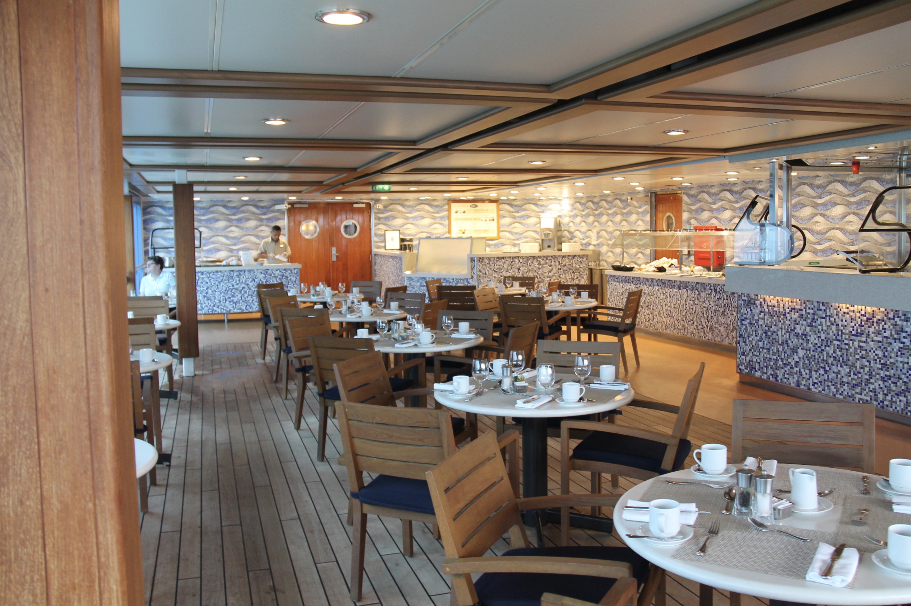
By the time Steve awakens at 6:15, Cathy has already taken a short walk – short because the fitness track was closed as it was wet. She is now ready for f-o-o-d. We finally head for Waves at 7:15. Cathy retrieves an omelet from the Terrace Cafe for her breakfast. Back in the room, we plan our day. Cathy’s first stop is the Bible study held in the Martinis bar, because it doesn’t open until 1:00pm.
Well, today we are truly out to sea, heading east northeast at 17.5 knots with the continent of South America a couple of hundred miles on our stern. The seas are about the same – about six feet at the most and a beautiful blue grey color. We have moved the clocks ahead another hour, so now we are three hours ahead of home. Steve has a personal trainer session with Sho (even Sho remarks “I
Today will be spent in Recife, Brazil (pronounced fe-see’-fee), which is technically considered to be in the northeastern part of the country. It is as far east as you can get in Brazil, and is actually closer to the coast of Africa than it is to the border of western Brazil at the same latitude.
It is the capital of Pernambuco State, and that fact is emphasized, again leading to the conclusion that states are very


